Cave Name: Champon
Alternate Names:
District: Toledo
Area: Rio Grande
Location: Co-ordinates logged with the Belize Institute of Archaeology
Altitude:
Length: 635m
Depth: 23m
History of exploration:
2006 - SWCC explore and survey.
Description:
Champon is a well known location and seems to generally refer to an actual area of the jungle but the locals will refer to "the cave at champon".
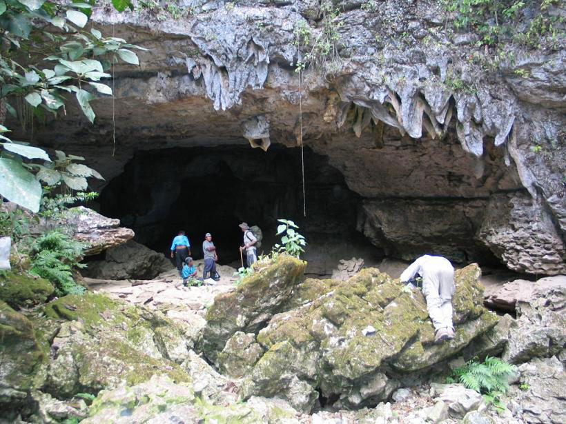
Obvious large cave entrance at the head of the dry river bed. Large stream issues from the cave in wet season and even in dry season after a couple of days prolonged rain.
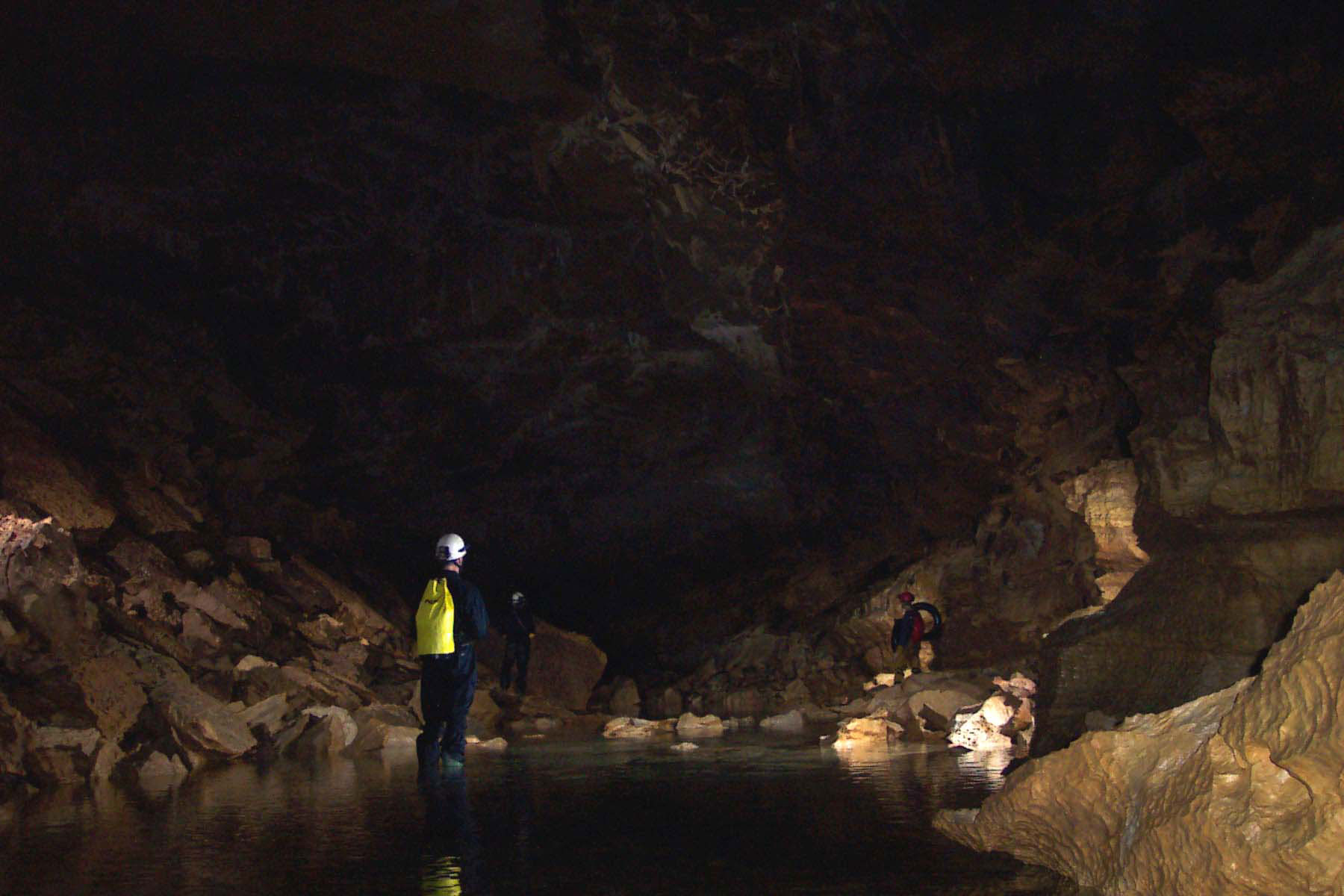
The initial entrance series is a large water worn passage leading North Eastwards to a large pool. A 50m swim is required before the passage widens to the main passage, with a flowing river on the left hand side.

Followng another 75m the passage lowers to a series of further swims approx 100m in length. The first pool contains a low arch in the roof, which is probably sumped in all but very dry weather.
Shortly after the swims a cross passage running West to East is encountered with a flowing stream. Downstream leads for 100m to a small phreatic passage ending in a small sump.
Upstream continues for around 250m in the streamway before the upstream sump is reached.
Cultural:
Details on archaeology and cultural remains are available from the IA.
Survey:
2006 Survey (.pdf - 0.1mb)
Links:
References:
SWCC Belize Report. (2006).